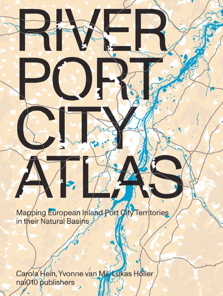
River Port City Atlas
Mapping European Inland Port City Territories in their Natural Basins
> A revealing atlas of Europe’s overlooked river port cities as engines of territorial transformation
> Mapping rivers, ports, cities and territories as one interconnected system shaping inland futures
> A synthesis of cartography and research that bridges spatial analysis and actionable guidance
River port cities play a crucial yet often overlooked role within European territorial systems. This atlas examines their position within river basins, framing them as dynamic environments shaped by infrastructure, ecology and governance.
A comparative approach spans multiple inland port city territories. It moves beyond individual case studies while connecting research with planning practice. Building on the Port City Atlas (2023), the new atlas shifts the focus from maritime contexts to inland territories and their specific challenges.
Central to the book is the concept of the River Port City Territory (RPCT), which understands rivers, ports, cities and landscapes as interdependent systems. Through cartography, spatial analysis and essays, the atlas argues for integrated, value-based approaches to sustainable development and water management.
Carola Hein, Yvonne van Mil & Lukas Höller
PortCityFutures, UNESCO Chair Water, Ports and Historic Cities
Studio Joost Grootens
978-94-6208-994-5
October 2026
expected
English
320 p
hardcover