
Mapping Port City Territories x Nieuwe Instituut
Mapping European Port City Territories: From Understanding to Design
After the soft launch of Port City Atlas this summer, TU Delft and PortCityFutures, together with nai010 publishers, are organizing the official launch of the Atlas. During this evening, the Atlas will be used to stimulate a dialogue with various experts and decision makers. We will discuss the European and national context of port city territories and zoom in on the territory of the Port of Rotterdam. The focus will be on how the results of the project or mapping-based research can be used to speculate about the future of port territories through education, planning and design.
Authors Carola Hein, Yvonne van Mil and Lucija Ažman-Momirski will share their expertise and talk with several guests, amongst others: Caya Hein (AIVP), Kersten Nabielek (PBL), Helmut Thoele (Province South Holland), Alankrita Sarkar (Deltametropool), Martijn van Weert (City of the Hague/Port of Scheveningen), Mina Akhavan and Maria Elena Buslacchi (PortCityFutures), Reinout Rutte and Han Meyer (TU Delft), Merten Nefs (Erasmus University), Paolo De Martino (IUAV and TU Delft) and Paul Gerritsen (Deltametropool).
Date: 05 October
Time: 19:30-21:00
Location: Nieuwe Instituut, Rotterdam (Museumpark 25)
Program
Introduction by authors Carola Hein, Yvonne van Mil and Lucija Ažman-Momirski
Introduction Caya Hein (AIVP)
Panel 1: Appling a territorial perspective: Insight for South-Holland
With Kersten Nabielek (Planbureau voor de Leefomgeving), Helmut Thoele (Province South-Holland), Alankrita Sarkar (Deltametropool), Martijn van Weert (City of the Hague / Port of Scheveningen)
Panel 2: Mapping as an analytical tool: New approaches for education, research and design
With Mina Akhavan (Port City Futures), Reinout Rutte (TUD IHAAU), Merten Nefs (Erasmus), Han Meyer (TUD Urbanism)
Panel 3: Reflecting
With Paul Gerritsen (Deltametropool), Paolo de Martino (IUAV and TU Delft), Maria Elena Buslacchi (Port City Futures)
Q&A
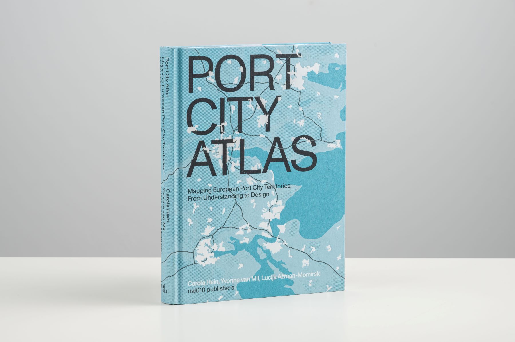
About Port City Atlas
A multitude of port cities dots Europe’s coastline, all serving the purpose of facilitating maritime transportation. Over millennia, public and private leaders have built harbours, urban spaces and infrastructures in diverse territories to serve hinterlands, including landlocked capital cities and metropolitan areas. As nodes on the edge of water and land, port city territories embody knowledge on maritime flows and water conditions. At a time of climate change, they can be paradigms and stewards of sustainable development.
Taking a comprehensive, mapping based approach, Port City Atlas visualizes 100 port city territories located on four seas and connected through shared waters. It provides a foundation for comparative analysis beyond case study approaches that are often locked into national contexts, select languages or disciplinary approaches. Conceived as a work of reference, the book makes the case for a sea-based approach to the understanding and design of Europe.