

Port City Atlas
Mapping European Port City Territories: From Understanding to Design
> Join us for the Mapping Port City Territories Conference October 5th at Nieuwe Instituut
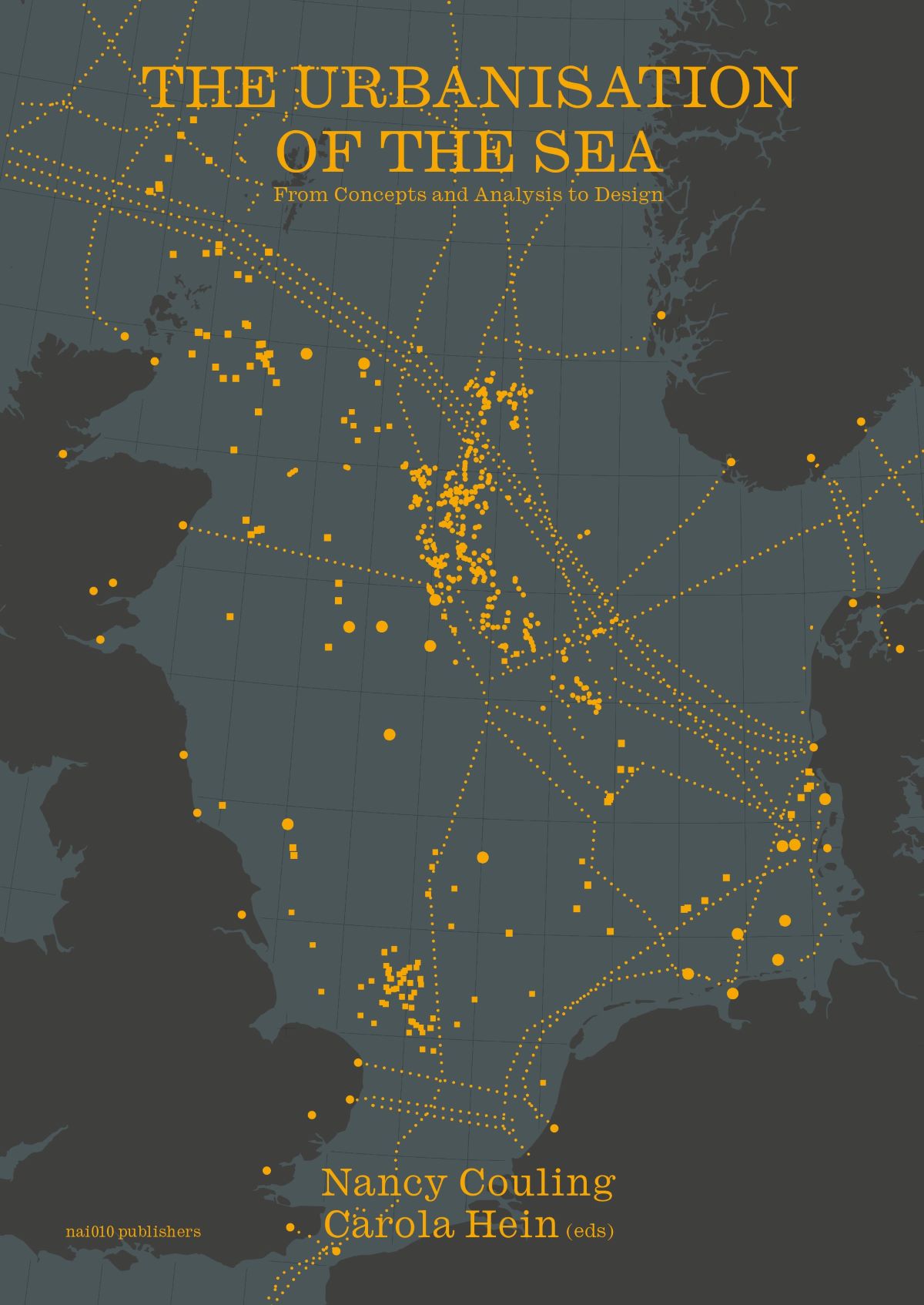
> The Atlas was created within the LDE PortCityFutures research group and the Faculty of Architecture TU Delft. It is part of the series on the Urbanization of the Sea, and the kick-off of a sub-series on Mapping Port Cities
> An analytical study on the complexity of port cities in Europe
> Download the TU Delft Open Access edition or visit the TU Delft OPEN website
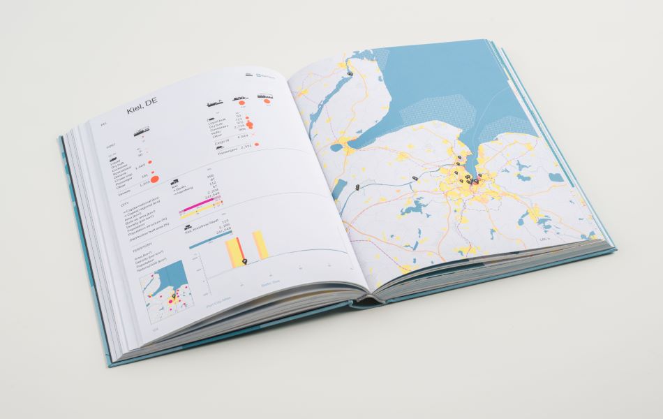
Taking a comprehensive, mapping based approach, Port City Atlas visualizes 100 port city territories located on four seas and connected through shared waters. It provides a foundation for comparative analysis beyond case study approaches that are often locked into national contexts, select languages or disciplinary approaches. Conceived as a work of reference, the book makes the case for a sea-based approach to the understanding and design of Europe.
Carola Hein, Yvonne van Mil, Lucija Azman-Momirski
TU Delft
Studio Joost Grootens
978-94-6208-742-2
June 2023
available
English
320 p
integral bound